
General Information:
This degree programme provides comprehensive training in natural and engineering sciences, including surveying and geodesy, computer science, geographic information systems, as well as urban and regional planning.
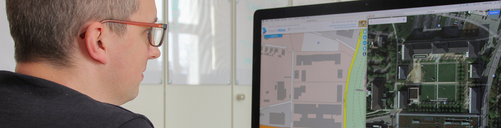
Graduates will be able to deal with coordinate and reference systems, data models, data bases and geoinformation systems and acquire the know-how of modelling geospatial data and processes – in short, they will be specialists in the digital representation of the real world.
The aim of the programme is to prepare budding engineers for an employment in the areas of geodesy, surveying, geoinformatics, geomedia and information technology as well as in regional and urban management
Degree: BEng
Duration: 3 years
Start of studies: Winter term
Application period: May 1 through July 15
Language of instruction: German
Contents and Structure
Areas of Specialisation(after the first year of studies):
- Geodesy & Land Management
- Geoinformatics
First Year
- Basics of Digital Systems
- Mathematical Geography
- Geodesy and Surveying
- (Geo)-Programming
- Geodetic Calculations
- Cartography (Basics)
- Cartography (GIS)
- Data Base Systems
Additional Modules for Geodesy and Land Management:
- Surveying and Sensor Technology
- Adjustment Computations
Additional Modules for Geoinformatics:
- Theoretical Computer Science
- Geo Programming
Second Year
- Fundamentals of Spatial Planning and Development
- Stochastics and Statistics
- Computer Networks
- Geovisualisation, Printing and Digital Processes
- CAD Systems
- Surveying and Satellite Geodesy
Additional Modules for Geodesy and Land Management
- Physics
- Land Development and Land Readjustment
- Civil Engineering
- Fundamentals of Photogrammetry and Remote Sensing
- Land Registry, Real Property and Property Law
- Project Management
Additional Modules for Geoinformatics:
- Algorithms and Data Structures
- Software Engineering 1
- Virtual/Augmented Reality
- Web-Client Technologies
- Project Management and Agile Engineering Practices
Third Year
- Geodata Management
- Information Security
- Final Project and Dissertation
Additional Modules for Geodesy and Land Management
- Rhetoric and Presentation
- Land Management Project
- Nature and Environment
- Regional Management
Additional Modules for Geoinformatics:
- Software Engineering 2, Software Project
- Geodata Processing
- Computer Vision
- App Programming
For further information (in German), please switch to the German website.